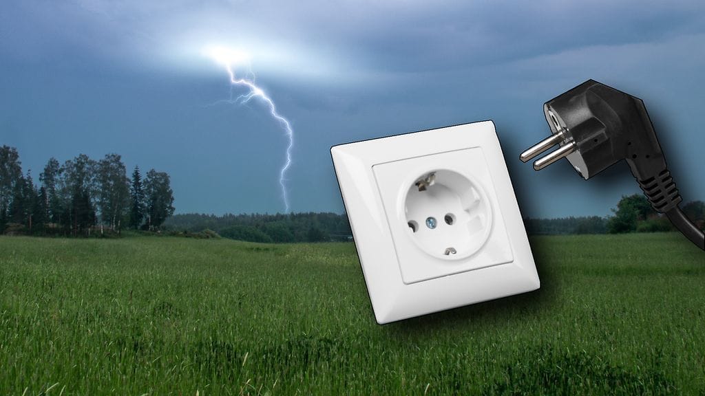
Official SEVERE WEATHER WATCH for SEVERE THUNDERSTORMS
There is a high potential for the development of severe thunderstorms.
This is an early advisory for the potential development of severe weather, so that appropriate preparations and precautions can be made in good time.
For more information please visit https://www.dwd.de/recommendations-watch
Thunderstorms and their accompanying effects typically occur very locally and often only a few places experience their full intensity. More precise information about place, extent and timing will be available as soon as official weather warnings are in place. We advise you to pay careful attention to forecast updates.
Varoitus voimassa ke klo 17:00 - to klo 0:00
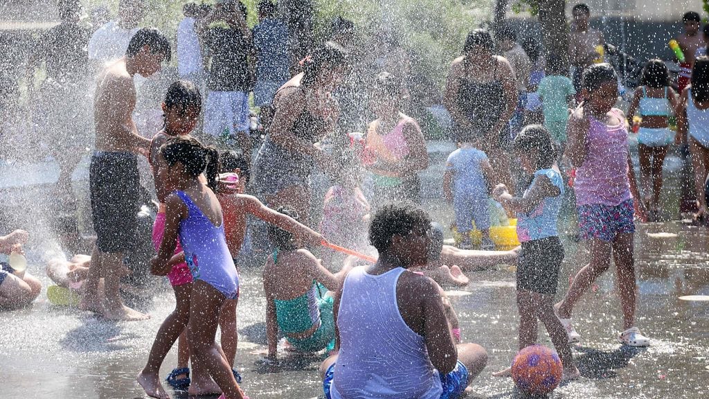
Official SEVERE WARNING of EXTREME HEAT
The expected weather will bring a situation of extreme heat stress. (level 3 of 3)
Height range: < 200 m
NOTE: be aware that this is an automatically generated product. The manually created original text warning is only available in German.It is issued by the DWD - Centre for Human Biometeorological Research (ZMMF) in Freiburg.
Varoitus voimassa ke klo 12:00 - ke klo 20:00
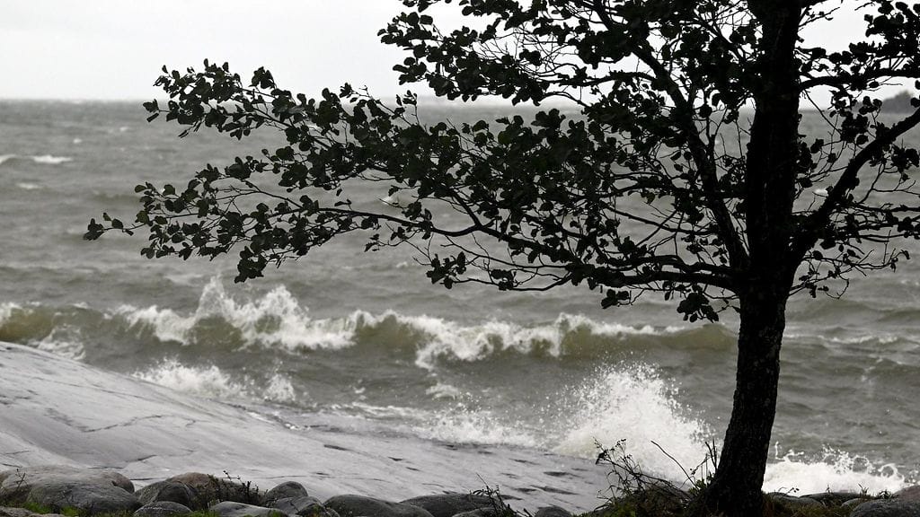
Official WARNING of HEAVY THUNDERSTORMS
There is a risk of heavy thunderstorms with gale- or storm-force gusts, heavy rain and hail (level 2 of 4).
Occurrence: isolated; Approaching from: south-west; Max. gusts: < 100 km/h; Precipitation amounts: 15-25 l/m²; Hail: possible
Hazard(s) caused by: lightning (danger to life!); single falling trees; objects falling to the ground; isolated, rapid flooding of roads and subways; aquaplaning; hail.
Recommendations for what to do:
Avoid staying outdoors and seek shelter (e.g. in buildings). Avoid being near lakes and rivers Secure scaffolding and free-standing objects (e.g. screens and platforms/stages). For example, fasten tents and coverings or, if there is enough time, take them down completely. Watch out for falling objects (e.g. large branches, roof tiles) and seek shelter if possible. Adapt your behaviour in road traffic. Avoid flooded areas and areas at risk (such as subways).
Varoitus voimassa ke klo 15:41 - ke klo 17:00
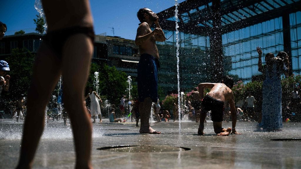
Official WARNING of HIGH UV INDEX
The amount of skin and eye damaging UV radiation reaching the earth's surface is expected to be unusually high, especially around midday.
INSTRUCTIONS: Risk of harm from unprotected sun exposure. Protection against skin and eye damage is advised. Reduce time in the sun between 10 a.m. and 4 p.m. If outdoors, seek shade and wear protective clothing, a wide-brimmed hat, UV-blocking sunglasses and use sunscreen.
NOTE: be aware that this is an automatically generated product. The manually created original text warning is only available in German.It is issued by the DWD - Centre for Human Biometeorological Research (ZMMF) in Freiburg.
Varoitus voimassa ke klo 11:30 - ke klo 17:00
Uusin säälähetys:
Huomenta Suomen sää
Wassenberg 7 vrk säätiedot tunneittain
Sataako vai paistaako lähipäivinä? Alla löydät 7 vrk säätiedot tunnin tarkkuudella. Valitse kuntasi tai alueesi ylhäältä ja kokeile!


 Eilen 13:59


